Grand Canyon Research is about this Architect researching one of the most interesting Grand Canyon facilities in existence, along with the helicopter ride there and back.
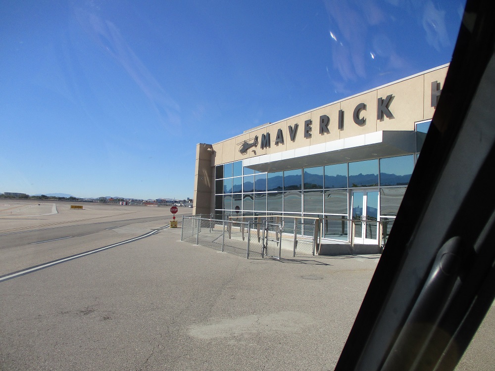
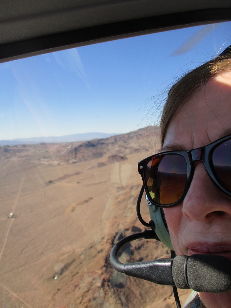
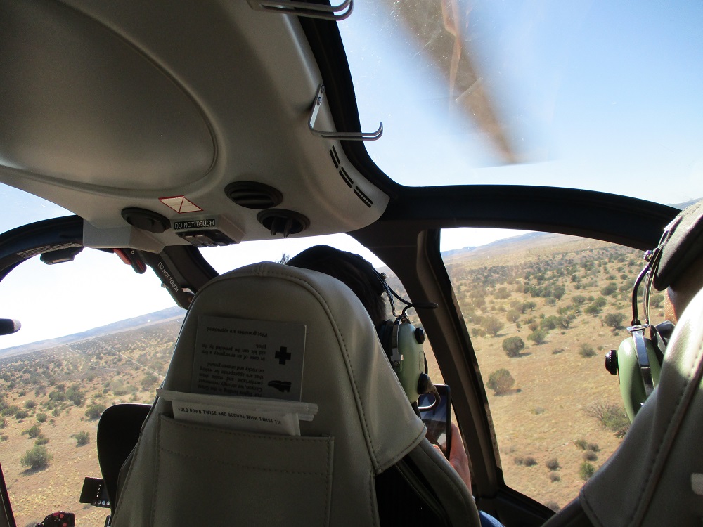
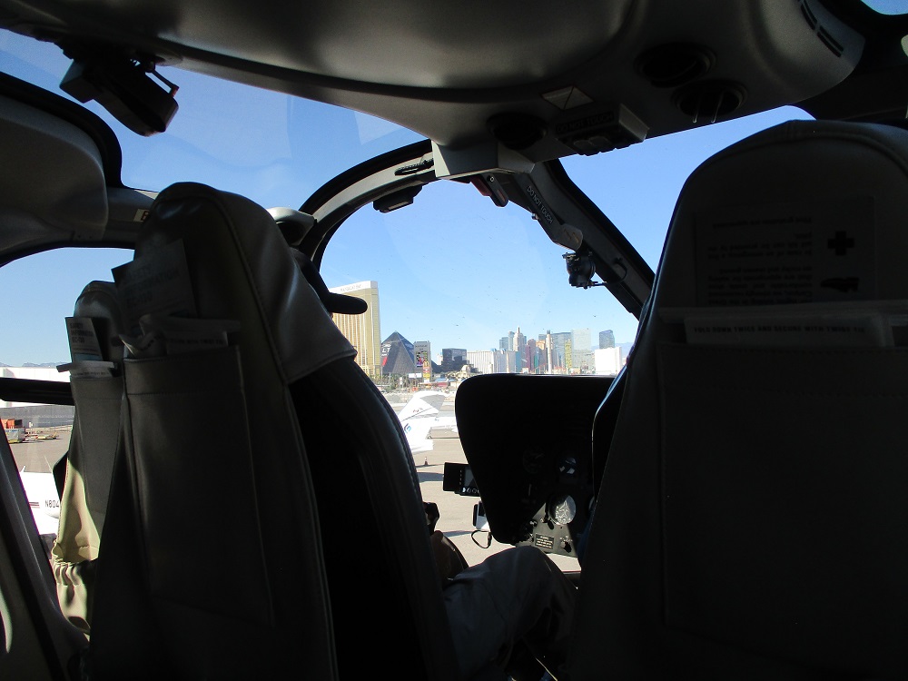
Above is how this Architect and his real estate broker wife started the trip there: by helicopter from McCarran Airport (also called Harry Reid Airport).
Note: Thanks to the makers of Non-Drowsy Dramamine (ginger pills) for keeping us feeling well. Took a pill the night before and morning of the flight. Felt fine. Mostly due to the excellent piloting skills flying smoothly.
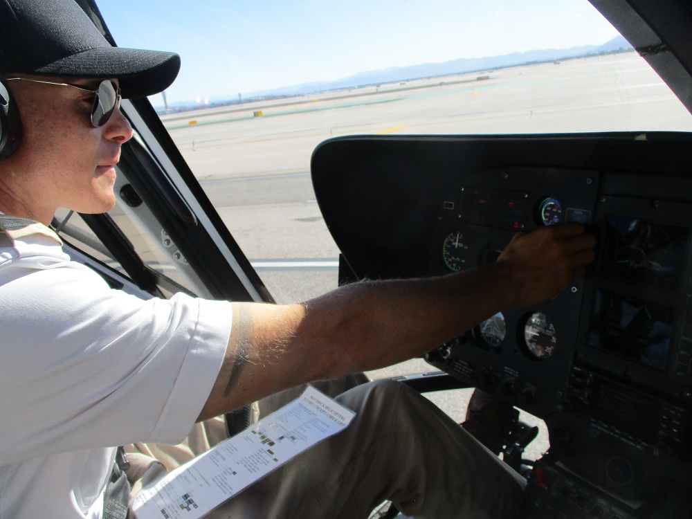
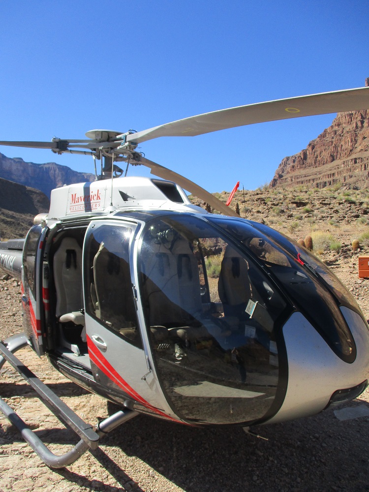
World-class MAVERICK HELIPCOPTERS personally flown by Captain Travis, flew the Architect and his wife and 4 other explorers out of the Las Vegas based airport and over the approximately 76 miles of high desert to the western rim of the Grand Canyon.
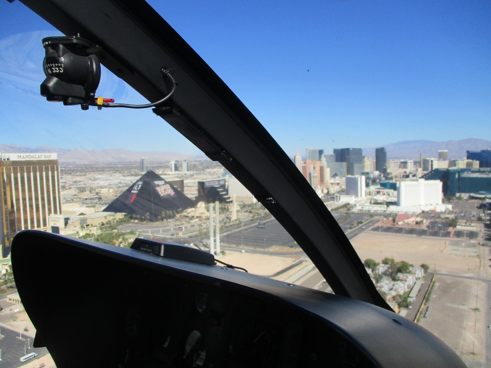
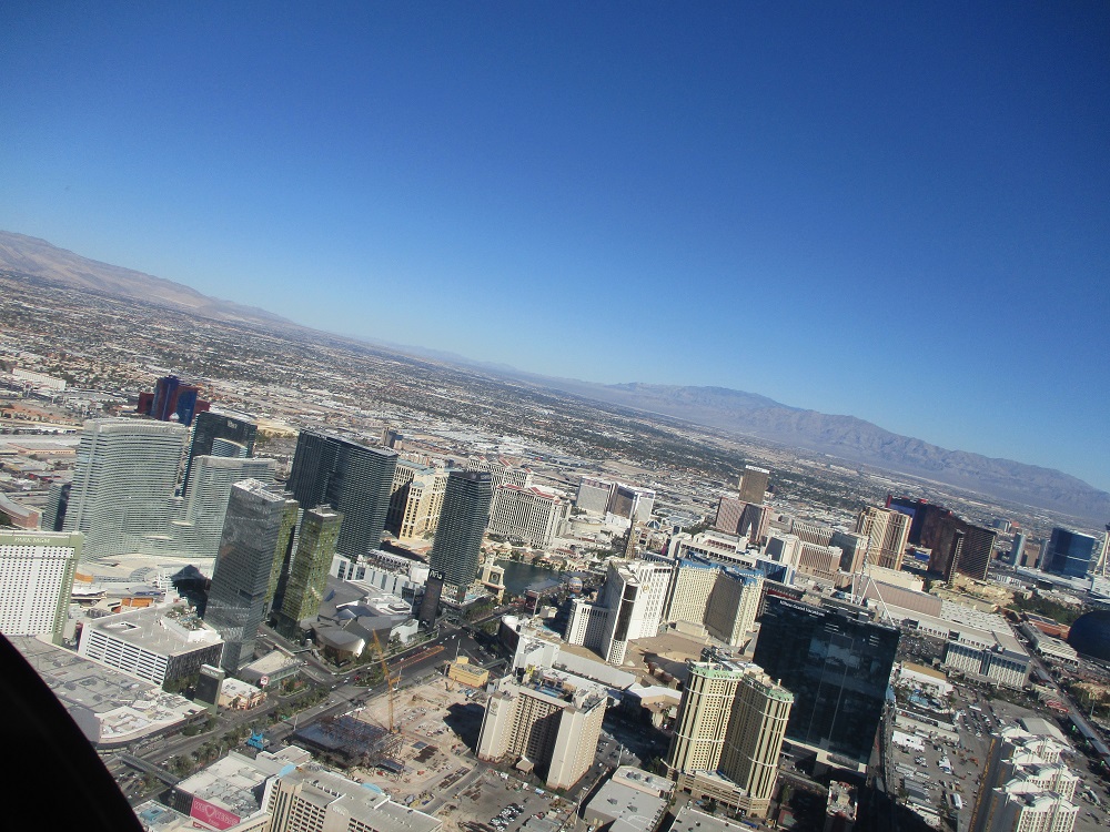
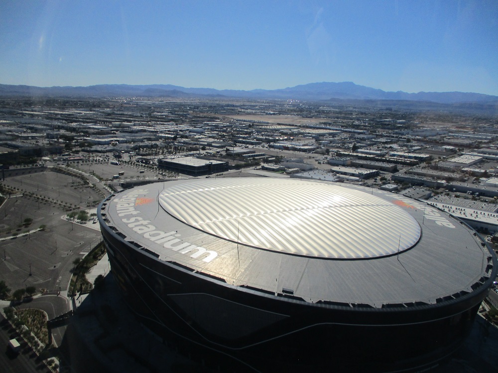
Here’s some of the views around the Harry Reid Airport (McCarran) and Las Vegas during the start of the journey.
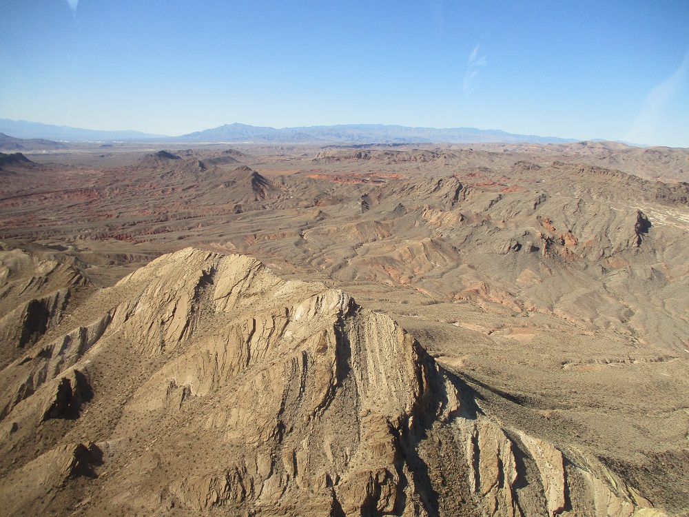
Here they are getting into the desert area east of Las Vegas.
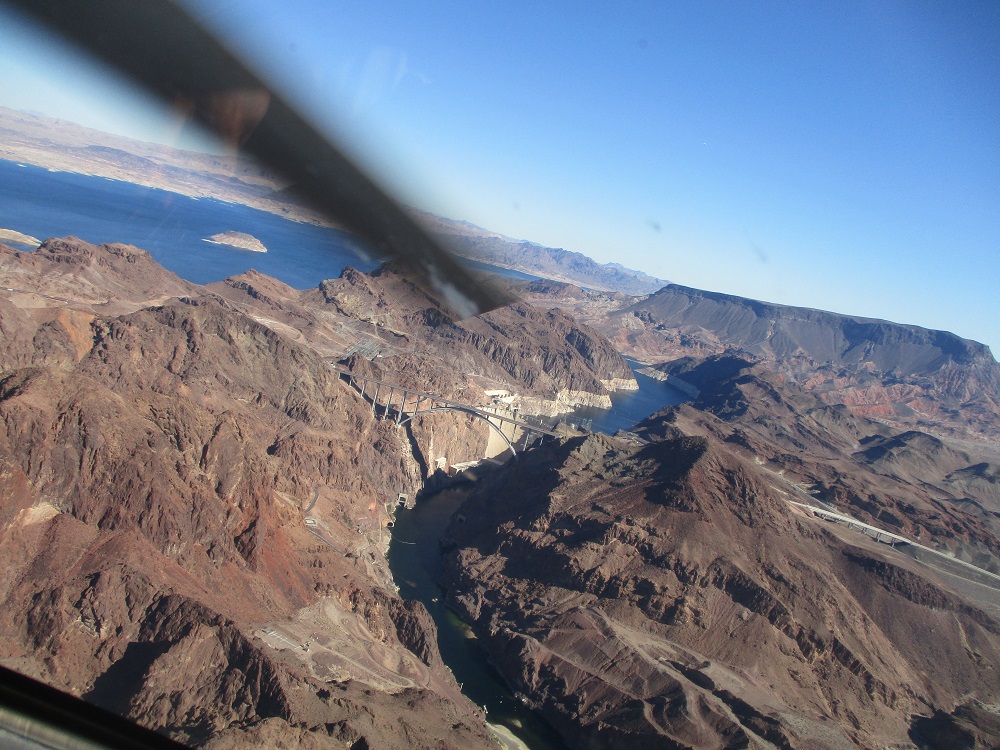
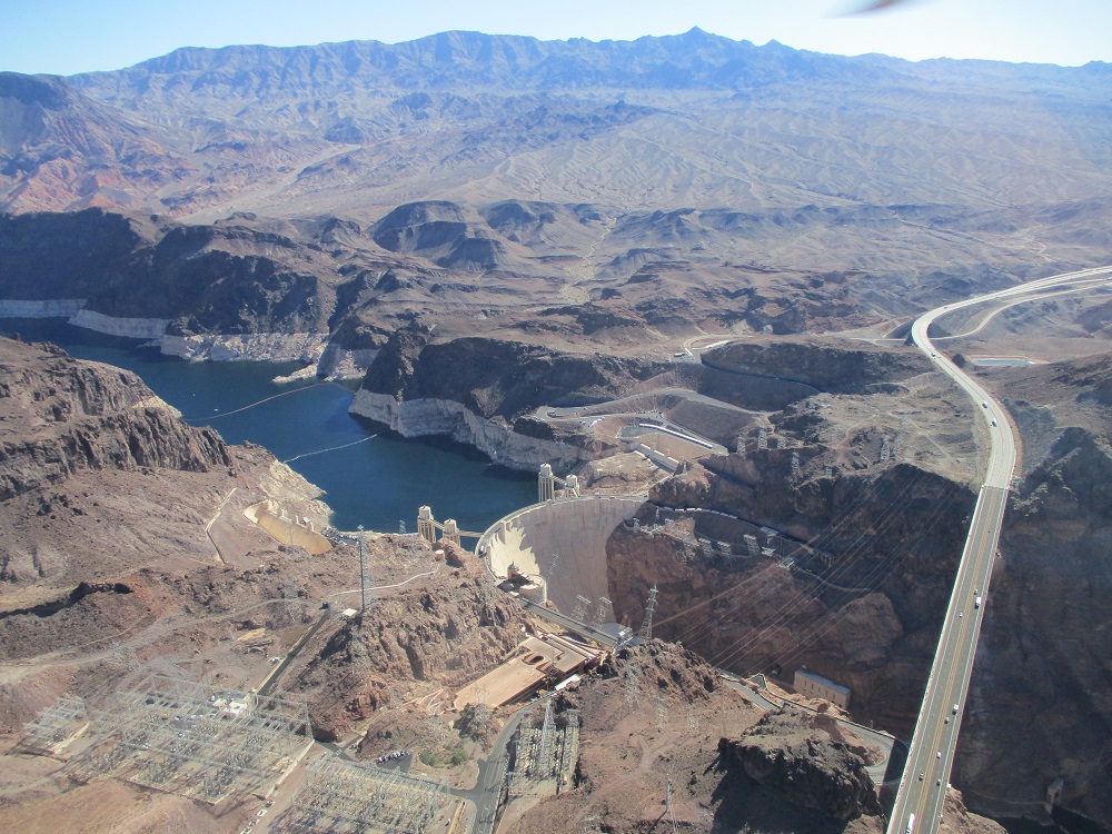
And the Hoover Dam (about 24 miles east of Las Vegas), which controls the southerly flow of the water from the Colorado River. The Hoover Dam produces 4.5 BILLION kilowatt hours of electricity, serving the needs of about 8 million people in Arizona, southern California and southern Nevada.
The Hoover dam is as tall as a 60 story building. It’s base is about 600 feet thick. Each spillway can handle the same amount of water as Niagara Falls. The amount of concrete used could build a highway from San Francisco to New York City.
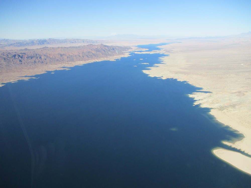
Lake Mead is the world’s largest man-made lake. The amount of water in the lake, when full, could cover the entire state of Connecticut, 10 feet thick. 21,000 people worked to build the dam. It took 4 years to build it: 1931 to 1935.
It supplies farm field irrigation water and electrical power to homes and cities. It was built during the depths of the Great Depression, a testimony to the hard working capabilities of the American people, even when down.
The dam cost $49 million when it was built, which viewed today, would be an amazing bargain. The power plant and generators cost an additional $71 million. The sale of electrical power generated by the dam paid back its construction cost, with interest, by 1987, over 52 years. If it were to be built today, no doubt the cost would be over a Billion $. So: it was a tremendous value, seeing as it continues to generate electrical power and control the Colorado River for millions of Americans all over the SW USA.
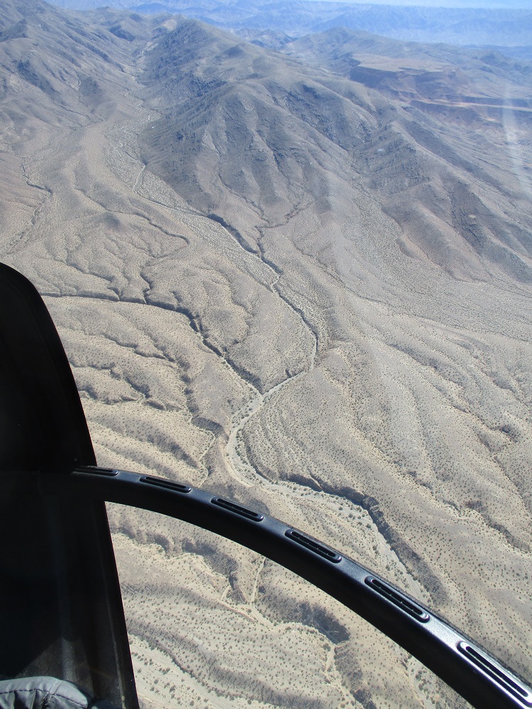
And the huge Mojave Desert. The pilot said daytime temperatures are in the 120*F range. The Architect designed a project in Kuwait City in the Middle East around the turn of the century, and he recalls 120*F being the normal daytime temperature there as well.
And below, here they are arriving at the west end of the Grand Canyon.
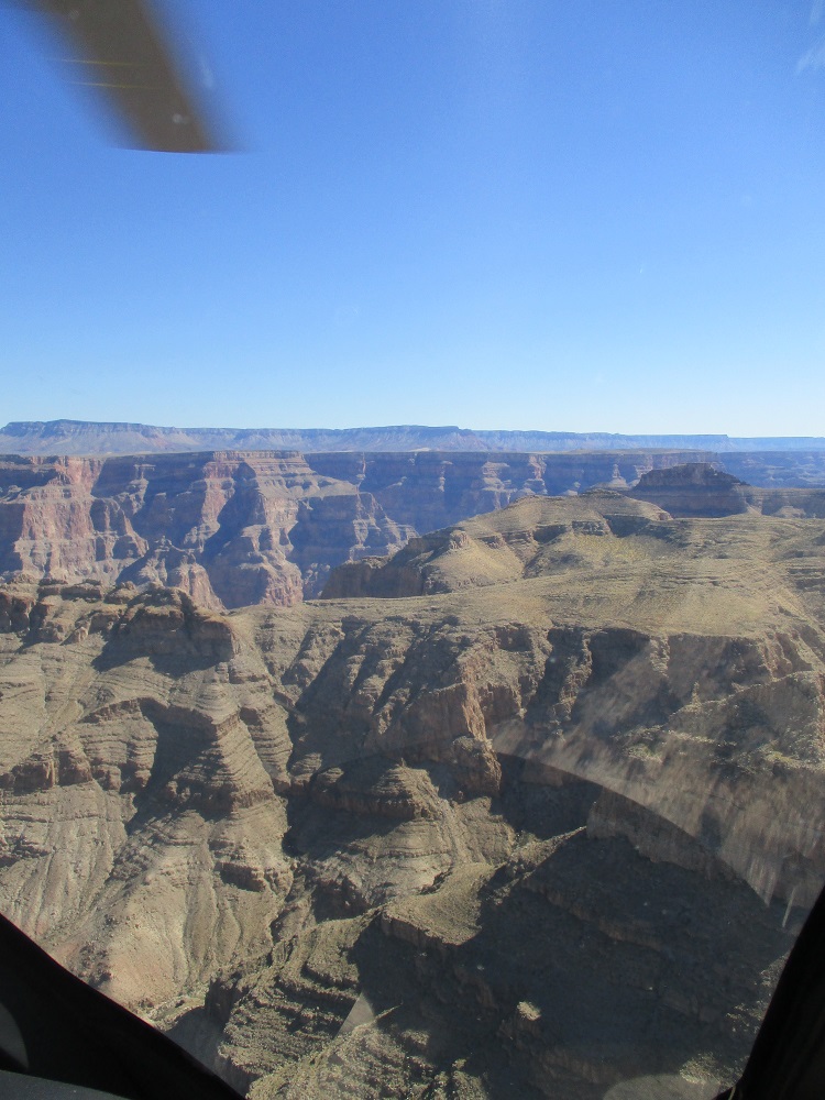
EVER WONDER WHAT CREATED THE GRAND CANYON?
Most people believe it was through the very slow 6,000,000 year erosion of the bedrock from the Colorado River.
And to many people, that is that.
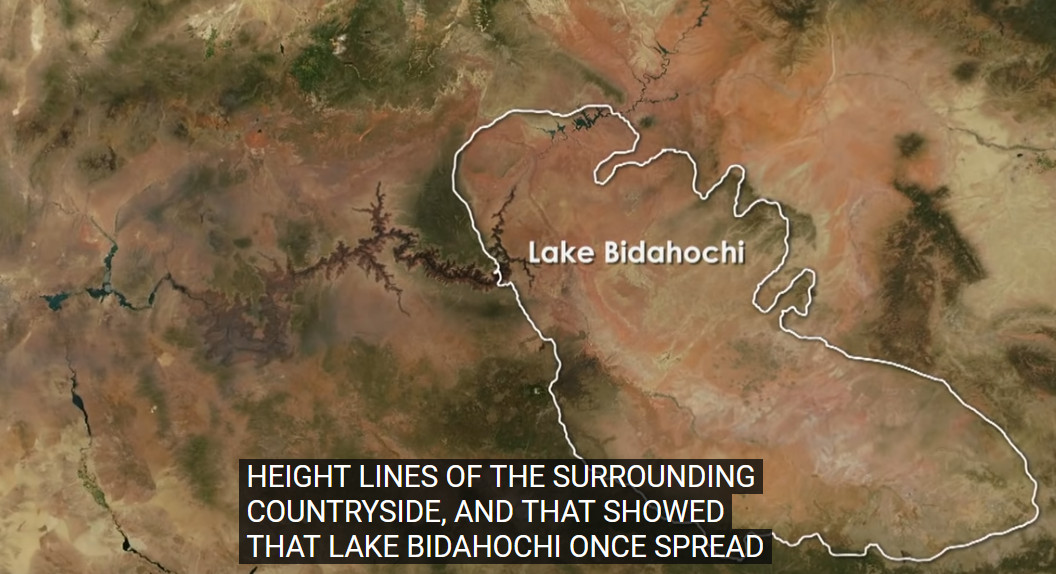
However, there are some other people who believe that the Grand Canyon was mainly formed from the cataclysmic bursting of a natural dam to a very large lake in the eastern and northeasterly area beyond the eastern end of the Canyon.
Yes, the Colorado River has been gradually eroding the Grand Canyon since then. However, it may be the secondary contributor to the main event. And Dr. John Douglass, PhD, Geologist, Paradise Valley Community College, has a well-tested theory, including physical sand spill-over models approximating the Grand Canyon. And so what does he believe was the source for the giant spill-over?
A now semi-arid plateau area that he has evidence for it being a previous enormous lake, larger than Lake Michigan. His name for this lake: LAKE BIDAHOCHI
Above is an excerpt from a documentary on the History Channel: https://www.youtube.com/watch?v=LaxaE7tcwu4
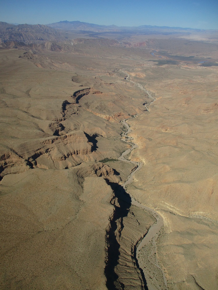
It is a fascinating episode documenting the investigations of many scientists, including Dr. Douglass. Further evidence for this cataclysmic event is this area of near the NE mouth of the Grand Canyon: MARBLE CANYON:
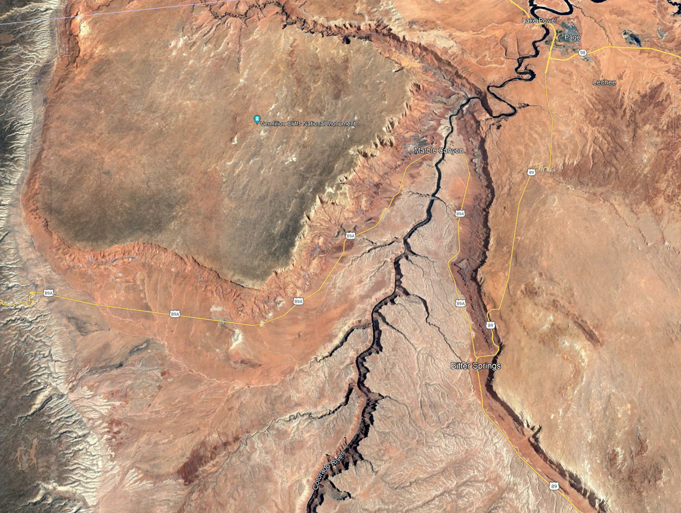
Which shows a funnel shaped canyon, reminiscent of what a gigantic high pressure fire hose might do to this area, millennia ago: blast it out at an angle. Which is directly in the NW corner of the Bidahochi Lake. Meaning: that the source of this enormous “fire hose” could very well have been this ancient lake, blasting into this region, forming the initial Grand Canyon, which since then, has been steadily worn away by the Colorado River. Interesting theories.
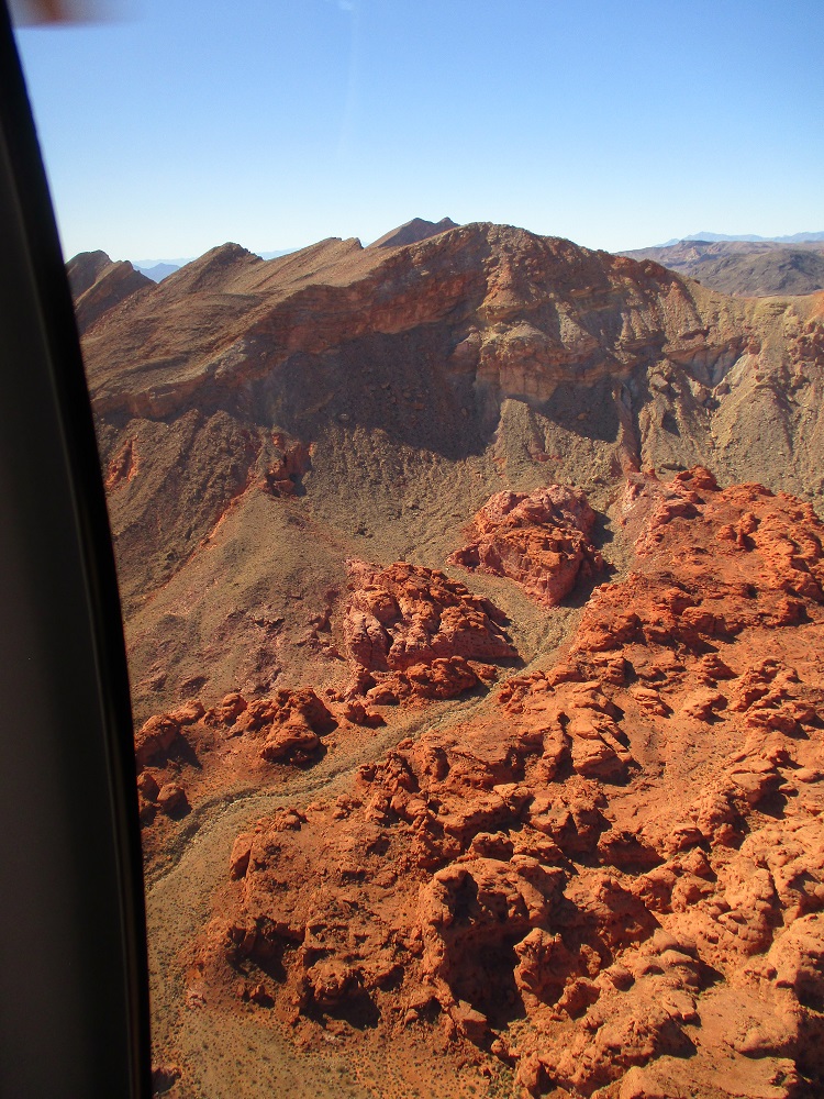
There has also been research that documents multiple volcanoes along the Grand Canyon, that created basalt dams, resulting in multiple stair-stepped lakes along the canyon, which, over millions of years, eroded, then finally collapsed, resulting in multiple giant floods that swept away even more of the canyon walls, further widening the Grand Canyon. So there has been a multitude of large lake floods over millions of years that have contributed to the carving of the Canyon.
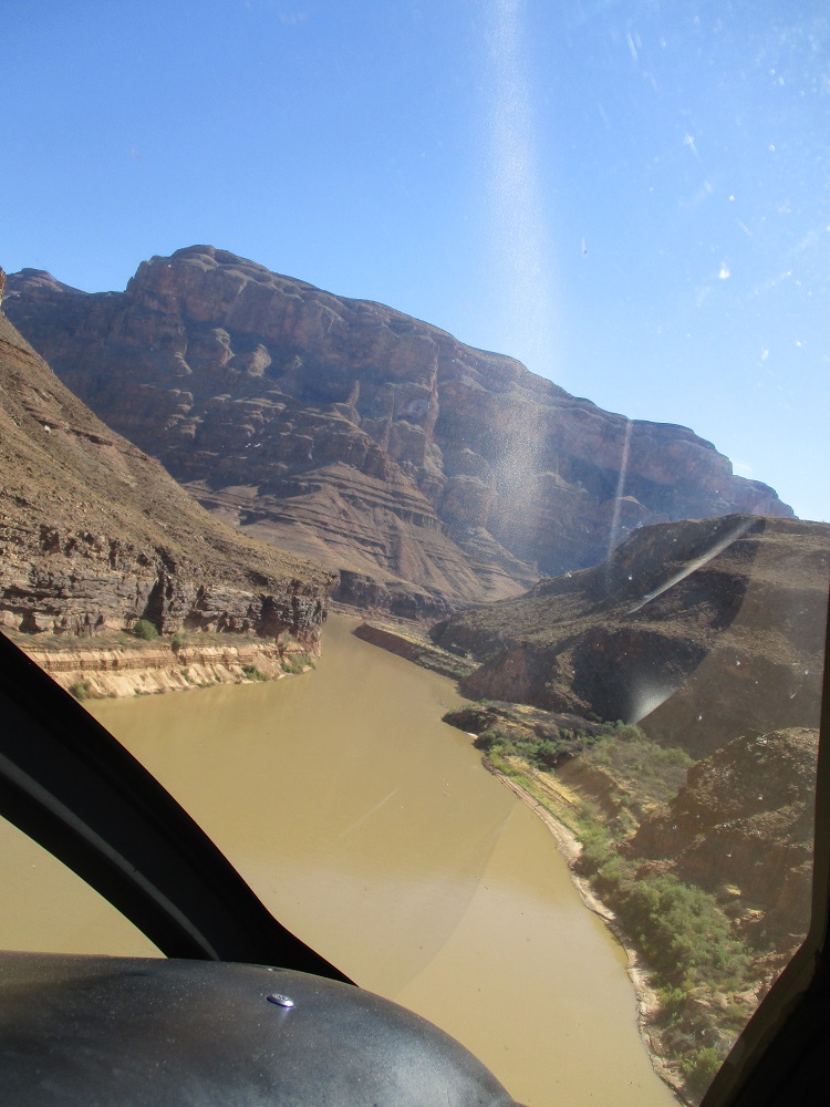
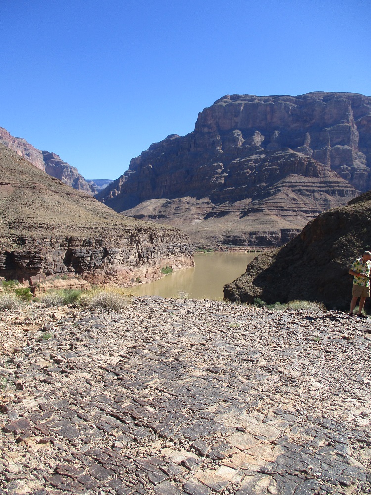
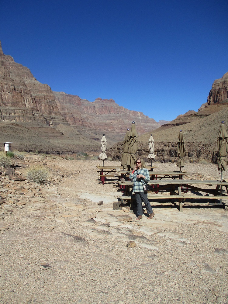
And now for a Champagne brunch on the shores of the Colorado River (below).
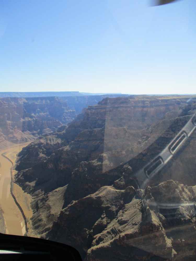
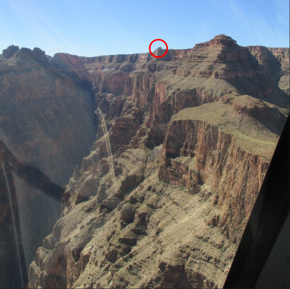
And here (below), you can see the Hualapai Indian world famous SKYWALK facility (inside the red circle), dramatically illustrating the 4,000 foot drop into the western Grand Canyon below the cantilevered walkway bridge.
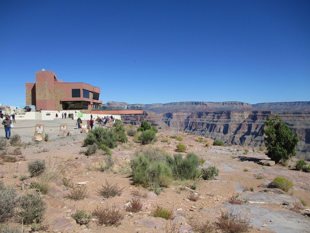
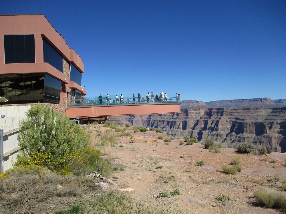
And now (below) photos of the Skywalk building from ground level.
Brave tourists walk across the thick glass floor attached to the curving large steel beams supporting the horseshoe shaped bridge.
The Skywalk opened in 2007. Mark Ross Johnson was the Architect. It was built at Eagle Point near the west side of the Grand Canyon. It is about 75 miles east of Las Vegas and can be reached in about an hour by helicopter. The Hualapai Indian tribe own the facility and the reservation land on which it was built. It is a couple of miles or so north of the Grand Canyon West Airport.
Over one million people a year tour the facility. The Skywalk is a horseshoe shape in plan. The cantilever is approximately 70 feet out over the Grand Canyon. There are two box beam, each 32 inches wide x 72 inches tall. The surface of the walkway is made of special glass and visitor are required to put on booties of soft cloth around their shoes before setting foot on the glass, to help avoid scratching it. The railings are also glass, to provide the maximum view possible.
The bridge is engineered to handle up to 822 people, each weighing 200 pounds, however, only 120 people at a time is permitted on the bridge.
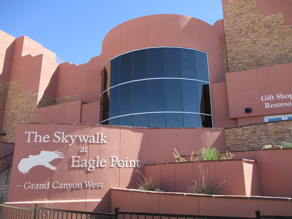
The Skywalk building itself is impressive and well-done by the Architects.
However, it appears that the adjacent outdoor food vendor facility was an after-thought and not in keeping with the quality of the main building.
And now, back over the Mojave Desert on the way back to Las Vegas.
Over a shallow lake area.
The “Iron City” (below) part of the Mojave Desert between the Grand Canyon and Las Vegas.
And over the Las Vegas Strip.
Then back on the ground.
Thanks again to Maverick Helicopters and Captain Travis for an unforgettable event.